Build

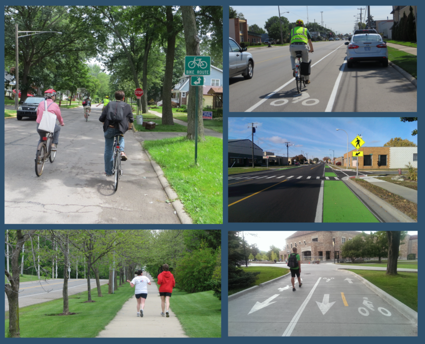
  • A Nice and Easy Network

    Establish a “low stress” and universally accessible network of pedestrian and bicycle routes that link community resources using local road and trails.

  • Safer Throughfares

    Reconfigure thoroughfares to increase the safety, comfort and access for all users, to minimize the potential for accidents that result in injury.

  • Better Places

    Transform public right-of-ways into attractive people-centric spaces that address critical environmental concerns and foster public engagement and commerce.
Recommendations for Pontiac

SUMMARY OF PROPOSED IMPROVEMENTS

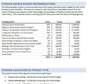
80 Locations for Crosswalk Improvements

5 Miles of Critical Sidewalk Gaps Identified

20 Miles of Shared Use Pathways and Trails

25 Miles of Neighborhood Connector Routes

13 Miles of Bike Lanes

40 Miles of Buffered Bike Lanes

4 Miles of Shared Lane Markings

0.6 Miles of Cycle Track

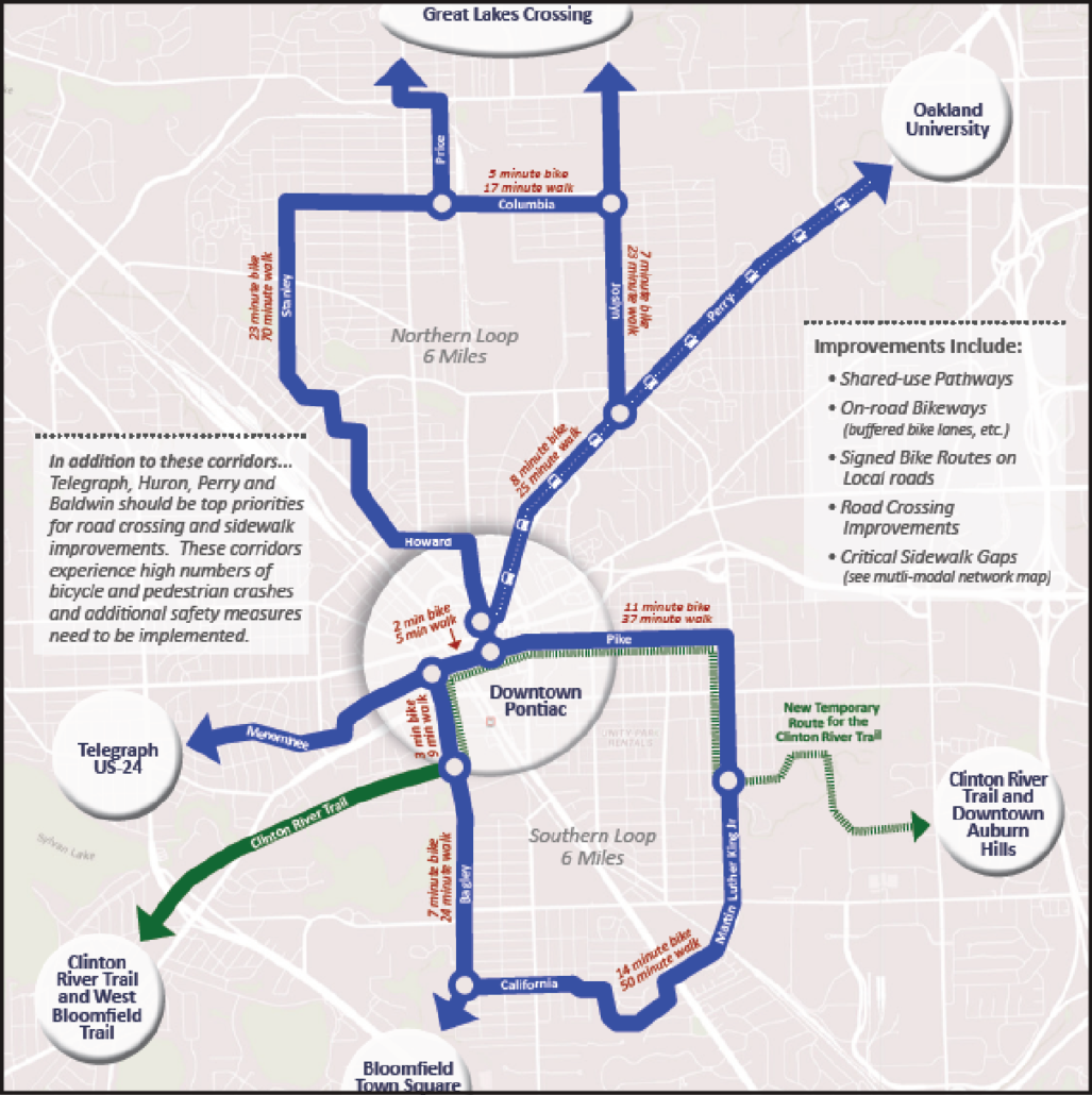
PHASE 1 – NEAR TERM IMPROVEMENTS

Southern Loop: $77,000

Northern Loop:  $133,000

To Telegraph: $17,000

To Bloomfield Square Shopping Center: $6,000

To Oakland University: $38,000

To Great Lakes Crossing Via Joslyn: $20,000

To Great Lakes Crossing Via Baldwin: $5,000

New Temporary Route for the Clinton River Trail: $778,000

Critical Sidewalk Gaps: $733,000

Critical Road Crossing Improvements: $2,745,000

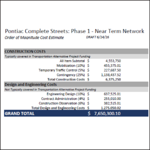
PHASE 1 GRAND TOTAL: $7,650,300*

* includes construction costs and design and engineering costs

Downloads

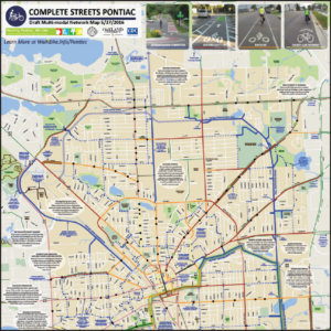
Multi-Modal Network Map PDF

Near-Term Network Map PDF

Phase 1 Cost Estimates

Phase 1 Funding Strategies