Potential Enhancements
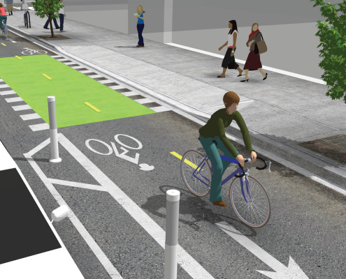
Make it easier for people who walk and bike to get to the Oxford Trail from nearby neighborhoods with nice and easy bikeways, such as protected bike lanes/cycle tracks, pathways and signed bike routes on local roads.
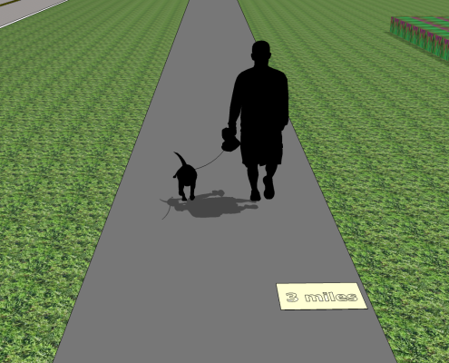
Place mile markers along the trail using pavement markings or signs.
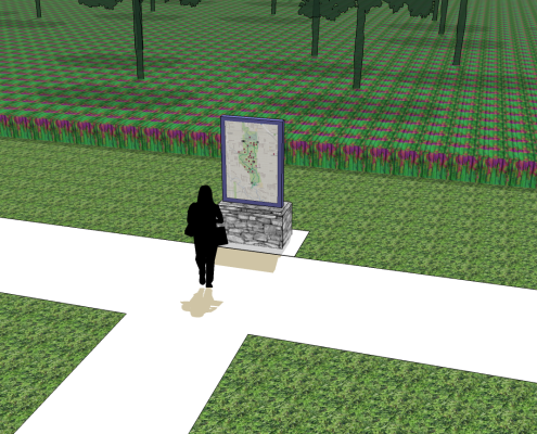
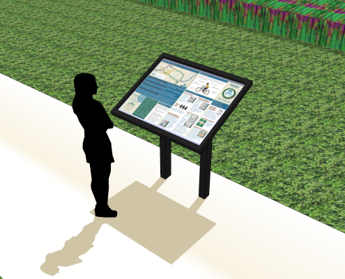
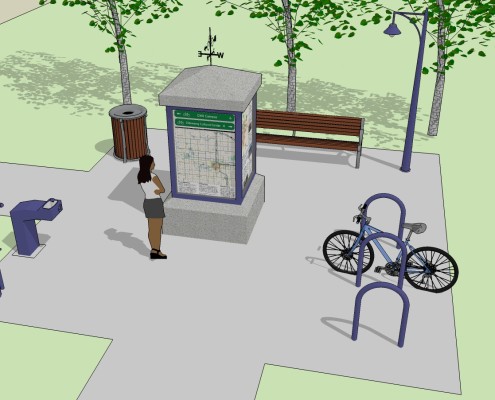
Orientation kiosk provide important wayfinding information and maps to help someone navigate around the trails. Orientation kiosks should be provided at entry points and intersections.
Interpretive plaques could be used along the trail to describe the prairie landscape and history of the site.
Trailheads located at the main entrances to the pathway, could provide wayfinding information, bike parking, water, bench, trash receptacle and bike maintenance stations.
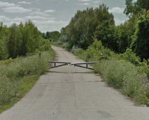
Trail users should able allowed to access the central trail segment from both ends – access should be provided around the existing gate, near Wealthy Ave.
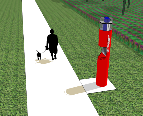
To improve safety and security, emergency call boxes with security cameras could be located around the park. The boxes are activated by pushing a call button and then the caller is connected directly to the police radio network.
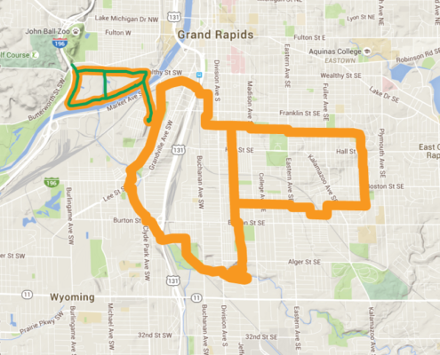
Priority Neighborhood Connector Routes would provide connections between Oxford Trails and the surrounding neighborhoods in southeast Grand Rapids, and create a 12-mile loop system.


